The 1853 Council of Table Rock negotiated a peace treaty between representatives of the American government and the Takelma, Shasta, and Dakubetede Indians of the Rogue Valley, bringing a temporary respite to the ongoing conflict in southwestern Oregon between Native people and the ever-growing number of White settlers and miners.
On September 10, 1853, near Lower Table Rock (which overlooks the north bank of Rogue River, across the river from the mouth of Bear Creek), Takelma leader Apserkahar ("Chief Joe") and former Oregon territorial Governor Joseph Lane faced each other again, having met in 1850 to call a halt to fighting that year. Lane's fellow negotiators included U.S. Army Captain A. J. Smith, Oregon Superintendant of Indian Affairs Joel Palmer, local militia "Colonel" John Ross, Lafayette Grover (later governor of the state), and, as translator, James Nesmith (who subsequently succeeded Lane in the U.S. Senate). The group went unarmed into the Takelma camp, and the parlaying lasted for much of the day (Nesmith averred that the party came close to being ‘killed to a man' when news of the latest murder of an innocent Native angered the Takelma leaders.)
The Treaty of Table Rock, which was ratified by Congress as a stop-gap measure, established a temporary reservation on the north side of the Rogue River (including the two Table Rocks, Sam's Valley, and the entire Sardine Creek and Evans Creek watersheds). It also promised various goods and services to enable the Indians to farm and ranch, and it provided for a fort, Fort Lane (also established in 1853), to protect the reservation's inhabitants from land-hungry Whites.
In October, 1855, the "Lupton Massacre," perpetrated by the self-described "Exterminators" (a band of white settlers and miners from Jacksonville) on a band of Takelma camped near Upper Table Rock), ended the Treaty's peace and precipitated the final "Rogue River war." The Takelma, who—unlike the other Native groups gathered onto the reserve—remained on the reservation and at peace throughout the 1855-56 episode, were removed from their Rogue Valley home to the newly established reservation west of Salem. Fort Lane lay abandoned and the former Table Rock Reservation was opened to settlement.
-
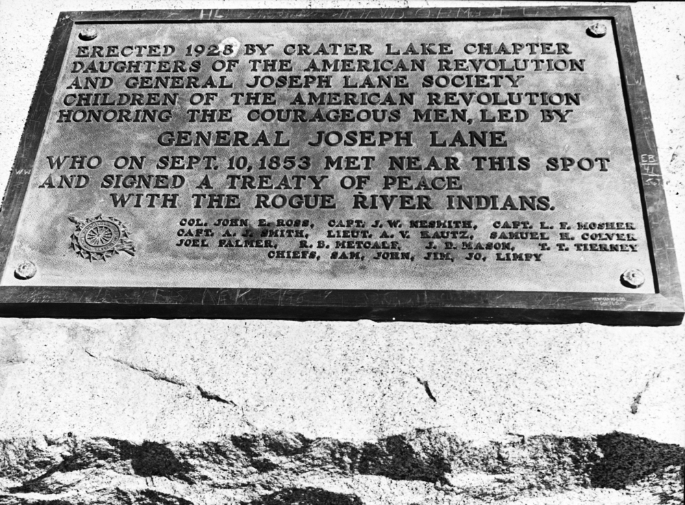
![Plaque commemorating treaty signing near Fort Lane, present day Camp White, Jackson County, Aug. 1942.]()
Rogue River Treaty plaque, bb004075.
Plaque commemorating treaty signing near Fort Lane, present day Camp White, Jackson County, Aug. 1942. Oreg. Hist. Soc. Research Lib., bb004075
-
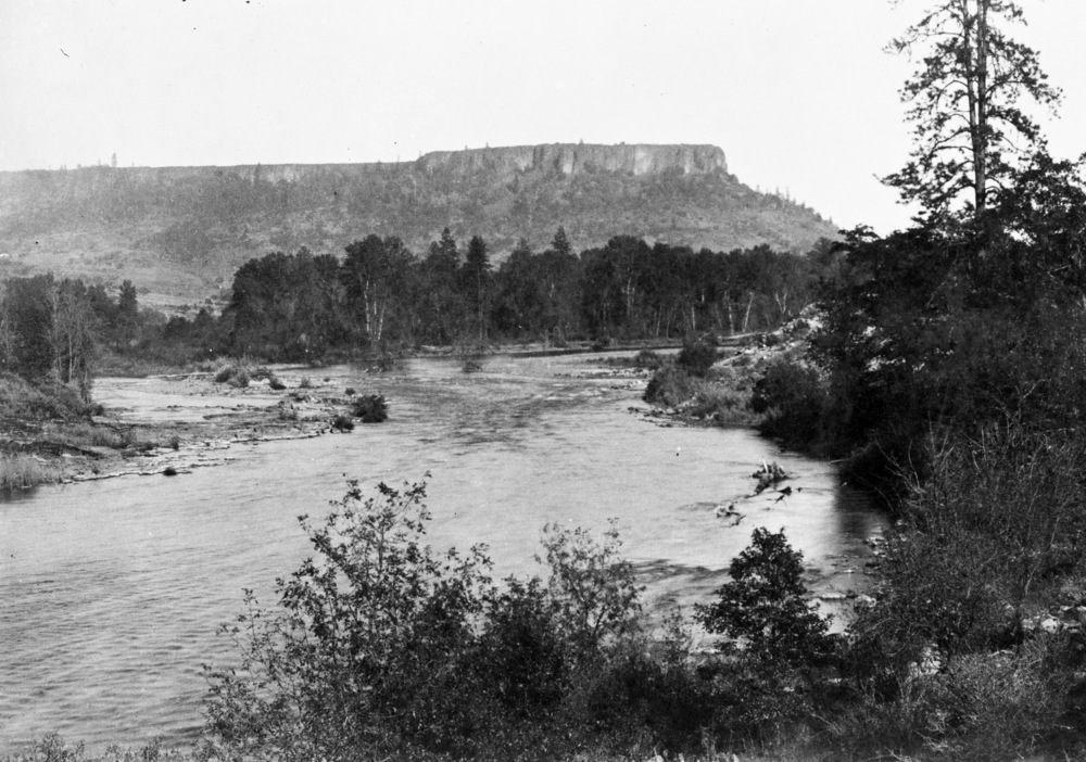
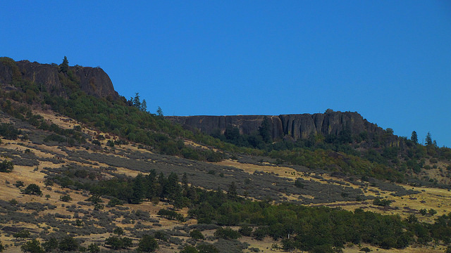
![Table Rock rises above the Rogue River in Jackson County, 1887.]()
Table Rock, bb006120.
Table Rock rises above the Rogue River in Jackson County, 1887. Photo by W. W. Bretherton, courtesy Oreg. Hist. Soc. Research Lib., bb006120

Related Entries
-
![Fort Lane]()
Fort Lane
Fort Lane was a United States military fort constructed following the s…
-
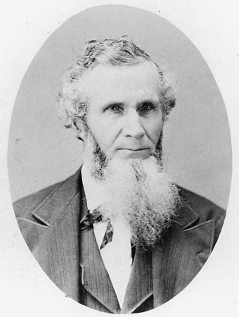
![Joel Palmer (1810-1881)]()
Joel Palmer (1810-1881)
Joel Palmer, who first saw the Oregon Country from a wagon in 1845, spe…
-
![Rogue River War of 1855-1856]()
Rogue River War of 1855-1856
The final Rogue River War began early on the morning of October 8, 1855…
-
![Table Rocks]()
Table Rocks
The Table Rocks, two large mesas north of Medford, rise nearly 800 feet…
Related Historical Records
Map This on the Oregon History WayFinder
The Oregon History Wayfinder is an interactive map that identifies significant places, people, and events in Oregon history.
Further Reading
Beckham, Stephen Dow. Requiem for a People: The Rogue River Indians and the Frontiersmen. Norman: University of Oklahoma Press, 1971.
Nathan Douthit. "Joseph Lane and the Rogue River Indians: Personal Relations Across a Cultural Divide." Oregon Historical Quarterly, 95, no. 4, Winter 1994-95.
Schwartz, E. A. The Rogue River Indian War and Its Aftermath, 1850-1980. Norman: University of Oklahoma Press, 1997.